The short answer
Work out each leg from the way people travel, not from the straight line on the map. Pick a daily distance for that mode, then add the climb, the season, the weather and any rest your calendar already requires. As a historical comparison, not a rule, the ORBIS model of Roman travel uses about 30 kilometers a day on foot, 12 for an ox cart and 56 on horseback. Its usual civilian river pace is about 65 kilometers a day downstream and 15 upstream, and it gives the sea no single speed. A training march in Vegetius fills a few hours, not a whole day. Write the result as days between named places, and let a letter, a wagon and a ship take different numbers of those days.
A rider can bring news of a late ship before the grain that was on it arrives. An ox cart cannot. If the map only says the places are “far”, both sentences are guesses. Travel time is the count of days between two named places, for one way of moving, in one season, with the rests you have already decided.
The counts below that come from history are labeled, and each one links to the page it came from. Distances on the worked route are invented for the example. They are not measurements of a real road, and they are not rules for every world.
Start from the journey that can fail#
Name the departure, the arrival, and what goes wrong if the traveler is late. A meeting, a closing pass, a ship that will not wait. Draw the region around that journey before you measure it. That guide treats a bridge as one day and a ferry detour as an overnight. Those are story constraints. This guide is how you choose the numbers a constraint like that rests on.
If the sketch has no scale, do not divide it. Label it schematic, as the map guide says, and pick the days directly. A list of places in order, with a number of days beside each, is enough for a short story on one road.
| If the story turns on | Decide this | Leave rough |
|---|---|---|
| A rider beating a cart to a meeting | The days for each mode on that one road | The rest of the continent |
| A winter shortage | The month the pass closes, and how many days of stores the town holds | Exact weather on the mountain |
| News that moves a price | Who can change horses, and who must stay with the goods | A full postal network |
| A chase | The slow direction and the fast one | Every village in between |
Drawing tools are a separate choice. The list of fantasy map makers compares them. Once the route has a scale, the rest of this guide applies.
Borrow a daily rate, and say you borrowed it#
ORBIS, the Stanford model of Roman travel, sets mean daily distances for a road network around 200 CE. The building notes describe them as a general picture drawn from ancient evidence and later comparisons, not as a stopwatch reading. Except for the horse relay, they assume movement by day. Night travel would be faster, and the notes say it was usually possible only for a short time.
Use the table as a starting point you can cite. If your road is worse, write a slower number and the reason. ORBIS itself is a Roman imperial network. The same notes say medieval Alpine roads were in worse condition than imperial Roman ones, so a muddy track in a later setting should not silently inherit the Roman pace.
| Mode in the ORBIS model | A day’s distance | Read it as |
|---|---|---|
| Ox cart | 12 km | Heavy freight, by day |
| Porter, or a heavily loaded mule | 20 km | Someone under a real load |
| On foot, an army on the march, a moderately loaded pack animal, a mule cart, a camel caravan | 30 km | Ordinary daytime land travel |
| Routine private vehicle, with places to stop | 36 km | Wheeled travel that is not an ox cart and not a courier |
| Routine horseback | 56 km | One rider, one horse, not a chain of fresh horses |
| Rapid march without baggage | 60 km | A short push, not a pace for weeks |
| Fast carriage, state post or private courier | 67 km | A light vehicle with support along the road |
| Continuous horse relay | 250 km | A ceiling for how fast news can move, not one rider’s day |
The model also sets 50 kilometers a day for accelerated private wheeled travel, between the routine vehicle and the fast carriage. Mountain roads in the Pyrenees, the Apennines, the Alps, the Balkans, Anatolia and the Maghreb take an extra half day, one day, or a day and a half for routine vehicles, with a matching share for other modes, depending on the climb and the length. In some winter months the model simply removes ox carts and fast carriages from the Pyrenees, the Alps and the Taurus. The notes say this may still understate the delay for goods in bad weather, and that seasonal change on land is handled more roughly than at sea.
A drill pace is not a day’s march#
An army with baggage sits on the 30 kilometer row. The 60 kilometer row is a rapid march without baggage, for a short span. A scout, a family and a company do not share one pace. Pick the row that matches who is actually on the road.
River and sea are not slower roads#
On rivers, ORBIS separates civilian cargo boats from military boats pulled by oars. In the civilian setting the most common pace is 65 kilometers a day downstream and 15 upstream. Some rivers are set higher or lower. The Nile is the only river whose pace changes with the season in the model. Military boats are set at 120 kilometers a day downstream and 50 upstream. River movement in the simulation is limited to daylight, and the notes say those daylight rates likely run higher than real averages, because real trips stopped for obstacles. Read 65 against 15 as a contrast you can plan with: down the river is much quicker than up it. Do not treat either number as a promise that every boat makes it.
The sea has no row in the table. ORBIS does not divide a voyage by one daily distance. It simulates square-rigged ships from the winds of each month, with two kinds of ship that differ in how well they can sail against the wind, and with strong currents only in a few straits. A route is closed where waves of at least 12 feet occur at least 10 percent of the time in that month. That rule cuts Atlantic sailing hard in winter, and it also cuts part of the northwestern Mediterranean south of France in winter. Ancient writers and later ones, the notes say, treat winter sailing as dangerous even where a lane stays open. Five short crossings stay available in the model all year, because the weather data does not routinely shut them: the Bosporus, the Dardanelles, the Strait of Messina, Gibraltar and the Strait of Dover.
The simulated time is an average across many voyages, and the path chosen is an optimal one. The notes say many real voyages were slower. Ships wait for weather. They stop in port. They miss the best line. For a story, pick the month, write the number of days you are willing to stand behind, and decide what the harbor does when the month is wrong. That number is your decision. It is not an ORBIS output unless you have actually run the route.
One result is easy to misuse. In the model’s simulations, road travel was often faster than sailing, depending on the route and the means, and land transport was always more expensive. A single rider can beat a grain ship. A city that eats the ship’s grain still depends on the ship, and on storing food while the harbor is quiet. Designing a fantasy city starts from water and food. The travel calendar says how many days of stores that food requires when the ships stop.
Add the climb, the season and the rest#
A flat daily distance ignores a pass. W. W. Naismith, writing in the Scottish Mountaineering Club Journal in September 1892, offered a formula for “men in fair condition” on “easy expeditions”: an hour for every three miles on the map, plus an hour for every 2,000 feet of ascent. The day he checked it against included short halts. The formula does not price a wagon, a storm, or a pass that is shut. It is a way to notice that the climb has a cost in hours, for a walker who meets its conditions.
A fantasy calendar is where that cost gets a date. Give the snow month a length. Give a rest day, a feast or a market a length. The daily rates above already describe a day of travel, not an hourly pace multiplied by every hour of the clock. Add a halt when the story has a reason the ordinary day does not cover. Do not invent a schedule for how often an animal must rest unless you have a source you are willing to cite. “The mule rests on the feast, because the calendar says the road is empty” is a story rule. “Horses must rest every sixth day” is a claim about animals, and this guide does not make it.
A fictional economy already uses the same hinge. Charcoal reaches Ostra by loaded mule over Brenna Gap, and the gap closes in winter. A heavily loaded mule in the ORBIS set is the 20 kilometer row, not the 30 of an ordinary walker. Give Brenna Gap a length only when a scene needs the count. Keep the winter closure either way.
Walk one invented route#
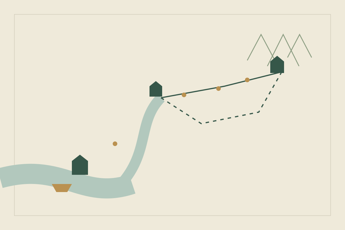
Porth is a harbor. Lind is a river town. Yarrow sits beyond the Tor pass. None of these distances is historical. Each line says which rate is being applied.
| Leg | Invented distance | Rate applied | What you write down |
|---|---|---|---|
| Sea, into Porth, in the fair season | No distance; an author decision | Not an ORBIS result | 5 days, and no departure in the storm month |
| Porth to Lind, upstream | 60 km | 15 km a day, civilian | 4 days |
| Lind back to Porth, downstream | 60 km | 65 km a day, civilian | Within one day |
| Lind to the foot of the Tor pass | 30 km | 30 on foot, 56 on horseback, 12 by ox cart | 1 day; about half a day; two and a half days |
| The Tor pass, fair conditions | 6 miles on the map, 2,000 feet of climb | Naismith, for a walker | About 3 hours on foot |
| The Tor pass, for the ox cart | The same crossing, not measured in kilometers | The top of ORBIS’s extra time for a harder mountain road, plus your calendar | Add a day and a half in fair weather, and do not also bill the six miles at the cart’s daily rate; closed in the snow month |
| News along a road | 120 km | 250 km relay ceiling, or 12 km by ox cart | The same day at the ceiling; 10 days with the cart |
The grain#
Colm’s ox cart of grain does not begin at the pass. In this example the ship takes five days of your choosing to reach Porth. The run from Porth to Lind is upstream, at 15 kilometers a day, and takes four. The road from Lind to the foot of the pass takes two and a half, and the crossing adds a day and a half because you are using the top of the extra time ORBIS allows on a harder mountain road. That surcharge already stands in for the crossing. Do not also divide the six miles by the ox cart rate. Put the labeled pieces together and the fair season trip is thirteen days before any feast day you add. If your calendar closes the pass sooner than that, the grain winters in Lind. That is the scene. The thirteen days are arithmetic on those assumptions, not a historical average.
The letter#
Ida rides the same 30 kilometers in about half a day, then faces the pass. ORBIS found that slope was not a serious delay for a lone rider or a light carriage except on high passes, and it still added time there. Decide, in writing, that she crosses in fair weather the day she leaves Lind, and that she does not cross in the snow month. She can tell Yarrow the ship was late while Colm is still on the road. Whoever buys grain in Yarrow can act on her sentence. The cart cannot.
The flight downstream#
A person who takes a civilian boat from Lind reaches Porth within the day, on the 65 kilometer pace. A pursuer coming back up the same 60 kilometers, from Porth toward Lind, needs four days at 15 kilometers a day. The chase is not a contest of courage until you have spent those four days. If the boat stops early, which the ORBIS notes say real trips often did, the lead shrinks, and you should change the number rather than hope the reader will not notice.
The timeline should hold the sailing, the arrival, and the day each person hears the news as separate events. Move the sailing by a week and all three move, or the scene is wrong.
Common mistakes#
- A pace times every hour of the day. The daily distances already are the day. Multiplying a drill, or a walking pace, by sunrise to sunset double counts the hours people spend halted.
- One speed in both directions. Upstream is not downstream. A return over the pass in the snow month may be impossible, not merely slow.
- One pace for everyone on the road. The scout, the family and the baggage train are different rows.
- A sea distance divided by a road rate. Give the sea a month and an authorial number of days. Do not give it 30 kilometers a day.
- Winter copied from summer. If the pass closes, the stores in town are the story. If the harbor will not clear the ship, the five days never start.
- The straight line. Measure the path the traveler can actually use. A range with one pass is a detour with a cost, not a wall and not a flat road.
- The forgotten return. The message, the grain and the person who must come home are three journeys.
After you change a date, check the scene against the table. Can the cart be in Yarrow on a day the calendar calls the pass closed? Does someone who heard the news on the first day still act, on the second, as if the grain had arrived? If you delete the downstream current, does the flight still take a single day?
Keep the places and the days together#
Draw the map in whatever tool you prefer. Yazar.io is a useful place for the decisions the drawing does not hold. Its locations are for cities, forests and passes, and a location can be linked to the people and the events that depend on it (features).
Give Porth, Lind and the Tor pass a location each. Field templates let you add the fields this route needs. The product updates list number and text among the field types, so a number can hold the fair weather days on foot and a text field can hold the month the pass closes (updates). Type a place’s name in another record and it links itself. You can also type @ and pick the record. Each page has a backlink panel of the pages that mention it, which is the list you want when the pass closes (features).
Timeline events can name the people who take part and the location where the event happens. The location’s page then lists those events in order (updates). Put the sailing, the arrival and the day Ida’s letter is heard on that timeline, with whatever date labels your calendar uses.
The free plan includes 15 editable records for each entity type in a book, Locations among them, which covers the stops on a route like this one. Glossary, Timeline, Notes and Quotes are unlimited (pricing). A gazetteer of every village is a larger set of location records than these stops. If you need more than fifteen editable locations, the pricing page is where any higher limit is listed. The record keeps the number you chose, which is what makes the scene check possible.
Sources
- ORBIS: Building the model of Roman transport (Stanford) · October 26, 2026
- Vegetius, Epitoma rei militaris 1.9, English translation (Classics for All) · October 26, 2026
- W. W. Naismith, Cruach Ardran, Stobinian, and Ben More, Scottish Mountaineering Club Journal (September 1892) · October 26, 2026
- Yazar.io: Features · October 26, 2026
- Yazar.io: Product updates · October 26, 2026
- Yazar.io: Pricing · October 26, 2026