The short answer
Put the land on a latitude and decide whether the axis tilts. On Earth the seasons come from that tilt, not from a closer sun, and the two hemispheres have opposite seasons. Mark the prevailing wind for the latitude, the wet side of any mountains that stand across it, and one effect of the nearest ocean current. Near the equator the year is wet and dry as the rain belt shifts. Around 30 degrees the air tends to sink and the land tends to be dry. Around 50 to 60 degrees a west coast tends to take more storms, and a cold season can close a pass. Name the biome from heat, water and height. Food, stores and the months a road or a harbor can be used follow that year. Climate limits what is easy. It does not assign a personality. The coast of Leth in this guide is invented.
Writers who search for a believable fantasy climate usually want the map to stop contradicting itself. A forest on the dry side of a mountain, snow on the equator, and a frozen harbor beside a warm current are three different mistakes. Each one is easier to avoid if you decide the sun, the wind and the water before you name the towns.
This guide uses Earth as the reference, and it says so when a number comes from a source. Your world can break a rule. The break should be a choice you can point to, the way a spell is. The coast of Leth, the harbor of Marr, the city of Ors, the river Senn and the pass at Kelm are invented for the worked example.
Put the land on a latitude#
Start with one question: how high is the noon sun, and does that change through the year?
On Earth, the seasons come from the tilt of the axis, not from the planet moving closer to the sun. NASA puts it plainly. When the North Pole tilts toward the sun, the Northern Hemisphere receives the sun’s more direct rays, and it is summer there. When the South Pole tilts toward the sun, the Northern Hemisphere is in winter. The two hemispheres do not share a season. Earth’s orbit is slightly stretched, and the planet is closest to the sun in January, during northern winter. NASA says that change in distance does not account for the seasons.
The tilt, called obliquity on NASA’s Earth fact sheet, is 23.44 degrees. A novel does not need the number on the page. It needs the consequence. A world whose axis stands straight up and down does not get this swap of direct sun from one hemisphere to the other. That last sentence is a reading of NASA’s account, not a second measurement. This guide does not give a formula for a different tilt. If you choose one, write what the story will treat as summer, and keep it.
Write three lines before you draw a biome:
- Which hemisphere tilts toward the sun in the season your story calls summer, if the world has a tilt at all.
- Whether the other hemisphere gets the opposite season.
- How far the story’s land sits from the equator, in broad bands. Near it, a moving rain belt. Around 30 degrees, a dry belt unless something else intervenes. Around 50 to 60 degrees, more storms, especially on a west coast. The next section is where those bands come from.
Mark the wind, then the wet side of the mountains#
The sun heats the equator more directly than the poles. Air rises there, and that rising air is the wet belt. The Met Office describes three great loops of air in each hemisphere. In the Hadley cells, which run from the equator out to roughly 30 to 40 degrees, the trade winds blow toward the equator, rise in the Intertropical Convergence Zone, and sink again over the subtropics. That sinking air is dry. It sits over hot deserts such as the Sahara, and over the subtropical oceans. NOAA puts a fair, dry belt of high pressure at about 30 degrees north and south, and points to deserts in the American Southwest and Mexico, northern Africa, and Australia. The same page puts stormier low pressure near the equator and again around 50 to 60 degrees, with more rain especially on the west coasts of continents in that second band.
The two accounts do not draw the edges on the same line. The Met Office carries the Hadley cells to about 30 to 40 degrees, and the westerlies of the middle latitudes from there toward about 60 to 70. NOAA places those westerlies between about 35 and 60 degrees. Treat “around 30” and “around 50 to 60” as the decisions a map can use. They are bands, not borders.
The spin of the planet turns the wind. The Coriolis effect deflects moving air to the right in the northern hemisphere and to the left in the southern hemisphere. The Met Office uses that deflection to explain the westerlies: surface winds from the west, or from the southwest in the north. The trade winds, closer to the equator, come from the east and curve toward the equator. NOAA’s page on the convergence zone describes them meeting. Northeast trades come from the north, southeast trades from the south, and the air between them is forced up. Near the poles, air sinks and flows out at the surface. NOAA calls those surface winds the polar easterlies.
You do not have to simulate a planet. Pick the band, write the wind it implies, and keep it. If your world does not rotate, say so, because the deflection goes with the spin.
| If the land sits | The usual wind | What that wind brings |
|---|---|---|
| Near the equator | Trades from the east, meeting and rising | Showers in a belt that shifts through the year |
| Around 30 degrees | Sinking air under a high | Dry weather, unless a mountain or a coast breaks it |
| From about 35 degrees toward 60 | Westerlies | Storms off the ocean. Around 50 to 60 degrees, more rain on many west coasts |
| Toward the poles | Polar easterlies, flowing out from the polar high | Cold air moving away from the pole |
Then put a mountain range across that wind.
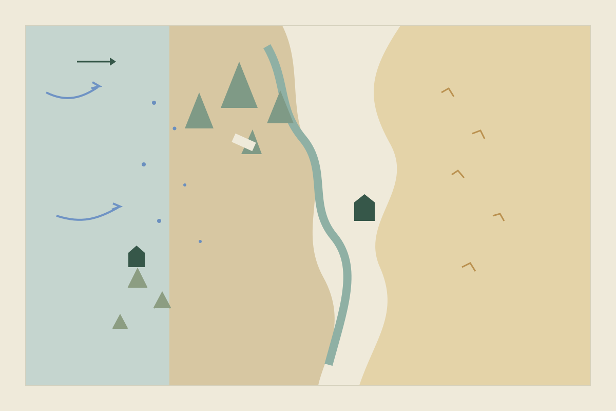
A rain shadow is the lee of a mountain barrier, the side that receives considerably less rain and snow than the windward side (Britannica). National Geographic describes what the air does. Air that climbs expands and cools. Cooler air holds less moisture, so cloud forms and rain or snow falls on the way up. Air that descends on the far side warms, and the cloud breaks up, so that side stays drier. Death Valley is dry in the lee of the Sierra Nevada. The Tibetan Plateau is dry in the lee of the Himalaya. Considerably less rain is not automatically a sand desert. It can be grass, scrub, or a river that has to do the work the rain no longer does. Draw the wet side first. The dry side is whatever is left.
Draw the region around a journey before you decorate the coast. If the journey has to cross from the wet side to the dry side, the pass is the obstacle, and the rain is why the two sides are not the same place.
Decide what the sea does to the coast#
Surface currents are dragged by the wind, then bent by the same spin. NOAA’s tutorial on boundary currents describes five great gyres, in the North and South Atlantic, the North and South Pacific, and the Indian Ocean. North of the equator the gyres turn clockwise. South of it they turn counterclockwise. Each gyre has a strong, narrow current on its western side and a weaker, broader current on its eastern side.
The Gulf Stream is the strong western current of the North Atlantic. NOAA says it keeps winters on the east coast of Florida warmer than they would be without it, and that the same current warms the countries of western Europe. Western Europe is a west coast. Florida’s east coast is an east coast. The current, not the word “west,” is what you copy. If you want a harbor to stay open through a cold month, name a warm current that reaches it. If you do not, a coast at the same latitude can freeze.
A cold current offshore does different work. In the Mediterranean type of climate, on the west sides of continents between about 30 and 45 degrees, Britannica notes cooler summers and frequent fog where a cold current lies offshore, as on the coast of southern California. Upwelling is the rise of deep water to replace surface water the wind has pushed away. NOAA says that water is typically cold and rich in nutrients, and that good fishing grounds are often found where upwelling is common. A fishing town is easier to believe on a coast where you have decided the wind does that work.
One current, one consequence a scene can use. Warm and open, or cold and foggy and full of fish. Both at once needs a reason you can say aloud.
Give the year the seasons that latitude allows#
Seasons are not a coat of snow you can put on any map.
Near the equator, NOAA says the wet belt follows the sun. It moves north in the northern summer and south in the northern winter, and that shift gives the tropics a wet season and a dry season. Close to the equator the sun passes overhead twice, around March and around September, and NOAA describes two wet seasons. Farther from the equator the two wet seasons merge into one, which NOAA calls a more monsoonal pattern: one wet season and one dry season. The same page compares Lagos and Kano, about 800 kilometers apart in Nigeria. Lagos, in the south, averages about 1,740 millimeters of rain a year and has a long wet season. Kano, in the north, averages about 825 millimeters, with a short wet season from June to September. One country is not one climate.
Between about 30 and 45 degrees on a west coast, the Mediterranean pattern is a hot, dry summer and a cool, wet winter. Britannica ties the dry summer to the subtropical high shifting toward the pole, and the wet winter to storms that arrive when that high shifts back toward the equator. The pattern usually stays near the west coast. Europe is the exception Britannica names, because the Mediterranean Sea lets this climate reach inland. An east coast at the same latitude is a different climate. Do not paste a dry summer and a winter rain onto it without a new reason.
Around 50 to 60 degrees, the year is a cold season and a warm season, with storms off the westerlies, not a tropical pair of wet and dry. Snow belongs to the cold months at that latitude, or to high ground. It is a strange choice on the equator unless the land is a high mountain or you have broken the rule on purpose.
A fantasy calendar is where those seasons get names and lengths. The climate decides which dates matter: the month the rain arrives, the month the pass snows shut, the month the grain has to be in. The calendar decides what people call those months.
Turn heat and water into a biome#
NASA defines a biome as a community of plants and animals that live together in a certain kind of climate. The useful question is not which of the names sounds exciting. It is how warm the cold month is, and whether water arrives when plants can use it.
The Köppen classification, which Britannica describes, was built to draw climate boundaries that would line up with vegetation. Temperature sorts most of the climates. Dryness sorts the dry ones, and dryness is not rainfall alone. It is rainfall set against the heat, because a hot place needs more rain to stay green than a cold place with the same gauge. The broad groups are tropical climates, dry climates, two bands of middle latitude climate, and the cold polar climates. A highland category is sometimes added for ground above about 1,500 meters, because height can carry a colder biome than the latitude around it. Britannica also records the criticism that matters to a novelist. Averages miss a drought or a killing frost, and the forest you can see may still be adjusted to a climate that has already changed.
For a story, four questions are enough:
- What is the coldest month like, and does it freeze?
- Does the rain come in the growing season, in the cold season, or barely at all?
- How high is the ground relative to the land around it?
- What fails first in a bad year: water, frost, or both?
NASA’s set of biomes is a plain vocabulary for the answers: rainforest, grassland, coniferous forest, temperate deciduous forest, desert, tundra and shrubland. Use the word that matches the answers. A wet west slope around 50 degrees can be forest. The lee, with less rain and a river, can be grassland. The high ridge can be too cold for either. Creatures that fit the ecosystem start from that ground: what grows, where the water is, and what has to walk between them.
Let food, travel and custom follow the year#
Climate does not hand a people a personality. It hands them a year of what is easy, and of what runs short.
Food is the first place the constraint shows. On the wet slope, timber and pasture that drinks the rain are plausible. On the dry side, grain belongs where the river reaches, and herds belong on the grass that cannot spare water for a field. A city that eats grain it does not grow has to be fed from outside the walls. Designing a fantasy city starts from water and from that supply. What people then dry, salt, trade or refuse is the meal itself. Creating believable food for a fantasy world starts from that year and builds one meal a scene can serve.
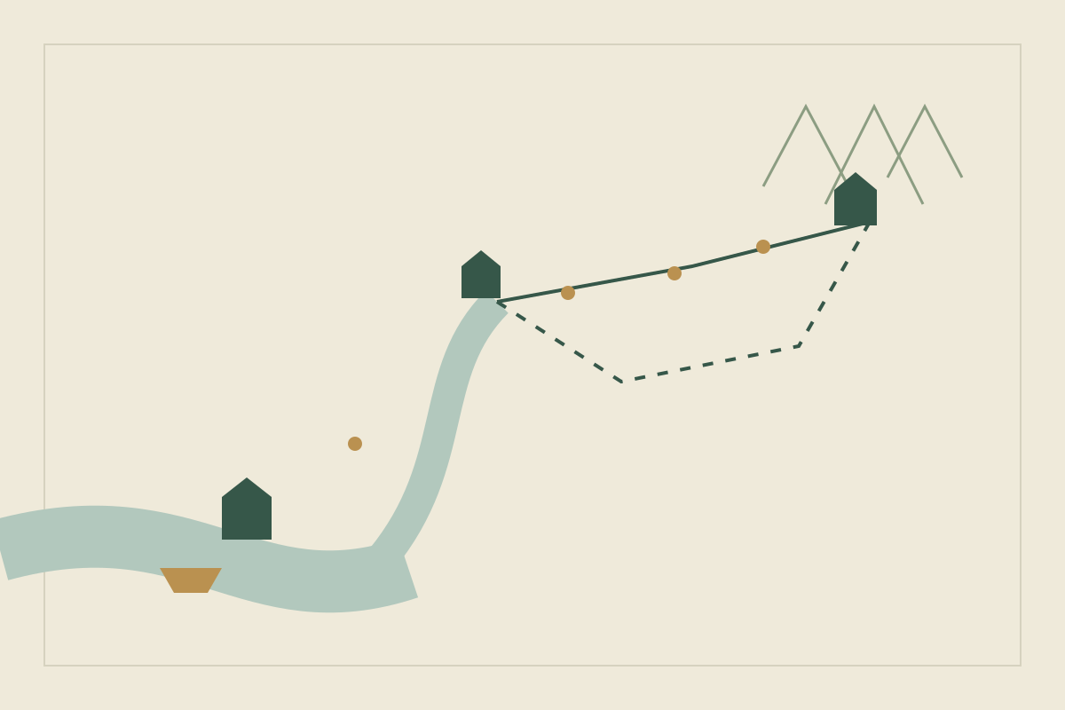
Travel follows the same year. A pass you have put snow on is closed in the months you have called the cold season, and open when you have said the snow goes. A harbor reached by a warm current may still take ships in a month when the pass is shut. The count of days is a separate job. Calculating travel times turns the open route into days on foot, by cart, on the river and at sea, and it already treats a closed pass as a date rather than a slower pace. A fictional economy follows the thing that runs short. Here that thing may be the river water, the stored grain, or a place on the last cart before the pass closes.
If a spell keeps the pass open, or brings rain to the lee, name the limit and the cost. Building a magic system keeps those apart from the wonder. A climate that works only while the plot needs it to work will contradict the next chapter.
Walk the coast of Leth through one year#
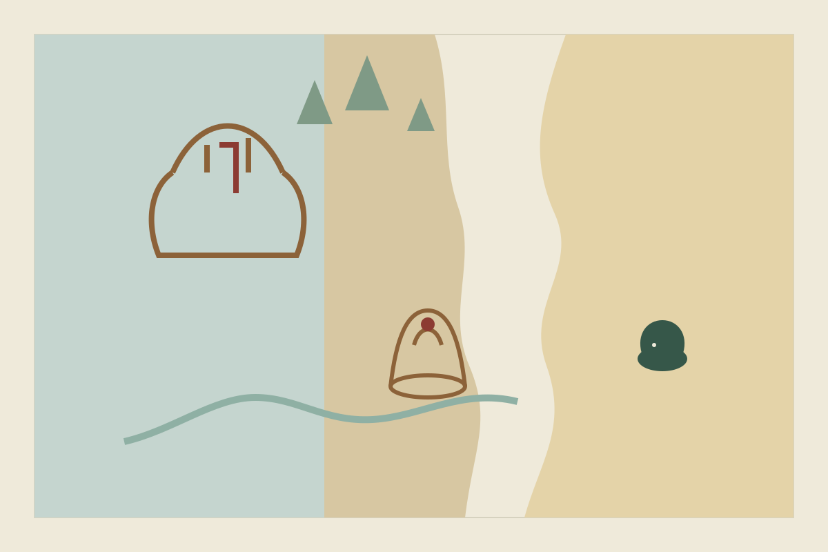
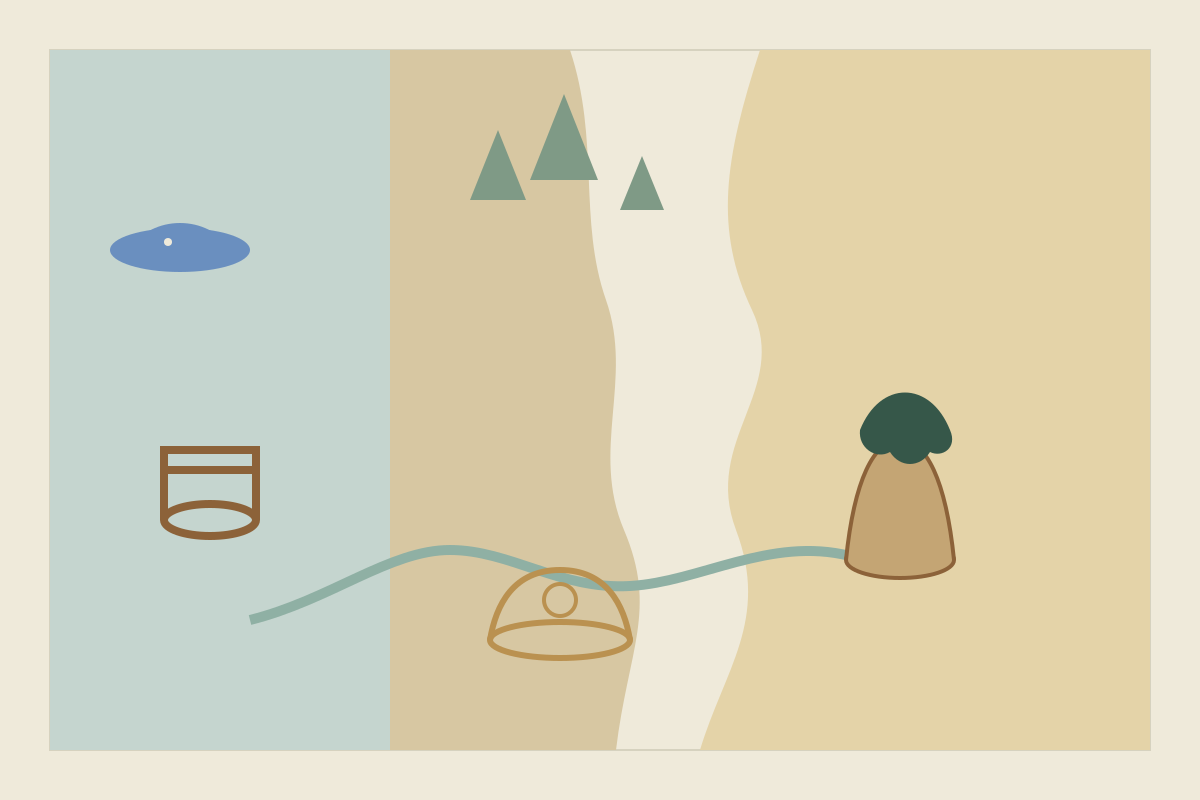
Leth sits near 50 degrees north, on the west side of a continent, in the stormier band. The wind is a westerly. The Kelm mountains stand across that wind. Marr is a harbor on the wet side. In this example a warm current reaches Marr, on the pattern of the current that warms western Europe, so the harbor is not frozen in the snow months. That is a choice for Leth, not a rule that every west coast stays open. The river Senn rises in the mountains and runs east, through the drier lee, to the city of Ors. Beyond the river the grass thins. None of these distances is measured. The arrangement is the point.
| Place | What the climate gives it | What a dry summer or a hard winter changes |
|---|---|---|
| Marr, on the wet coast | Rain, forest behind the harbor, a sea this example keeps open in the cold months | Fish that will cross the pass still have to be salted |
| The pass at Kelm | The cart road between the two sides | Closed in the months you mark as snow |
| Ors, on the Senn | Grain on the ground the river reaches, drinking water from the river | A short river is a short harvest |
| The grass east of Ors | Herds, and little spare water for another field | The herds and the ditches want the same low water |
Three people already disagree, which is enough for a scene.
- Sera salts fish in Marr and wants a grain cart before the pass closes.
- Ivo farms above Ors and wants the ditch full in the month the river is low.
- Dain herds east of the river and wants the animals at the water before Ivo’s ditch takes it.
In the warm months the pass is open. Fish and timber move east. Grain and wool move west. In the snow months the pass is shut. Marr eats its stored grain, or it does not. Ors eats its stored fish, or it does not. Sera can still send a ship along the coast, if you have decided that month allows it, but the ship does not climb Kelm. The letter and the cart are different journeys.
Write the scene in the month the river is lowest, before the snow. Ivo opens the ditch. Dain is still a day short of the bank. Sera’s buyer in Ors is taking grain that Ivo would rather put in his own store, because the pass is still open and will not be for long. Nobody needs a speech about the westerlies. The argument is the ditch, the herd and the cart.
Check the scene before you add a second coast:
- Can a reader tell which side of Kelm is wet without a lecture?
- Does the grain grow where the water is, rather than on both sides by habit?
- Do at least two people want different uses of the same river?
- If you move the story into the snow months, does the cart still cross?
If the last answer is yes, the season is decoration. Close the pass, or write the reason it stayed open.
Mistakes that make a climate look pasted on#
The forest in the lee. Trees on both sides of a range that stands across a wet wind, with no river and no spell to explain the dry side. Move the forest to the side the wind hits, or give the lee a source of water you can name.
Snow on the equator. A winter festival on land you placed under the overhead sun. Move the land toward a pole, put the festival on a high mountain, or make the seasons wet and dry.
One season for the whole world. North and south are in summer together. If you want that, take the tilt away and say what replaces it. Otherwise give the far hemisphere the other season.
A desert wherever the map looked empty. Subtropical deserts cluster near 30 degrees because air sinks there. A rain shadow is drier than the windward side, but it can still be grassland rather than desert. An empty stretch of map is not yet a climate.
The current that does nothing. A warm current that never changes the harbor, or a cold one that never changes the fog or the catch. Delete it, or give it one effect a scene can use.
The climate as a personality. People of the dry land are stern. People of the wet forest are easygoing. Replace the adjective with a shortage and two people who answer it differently.
Keep the zones beside the places that live in them#
The wind arrow and the wet side belong on the map sketch. Yazar.io is a useful place for the decisions the sketch does not hold. Its locations are for cities, forests and passes, and a location can be linked to the people and the events that depend on it (features).
Give Marr, Ors, the pass at Kelm and the grass east of the river a location each. Field templates let you add the questions this coast actually uses, such as which wind it faces and which months the pass is shut. Changing a template later does not break the records you have already written (features). Type a place’s name in another record and it links itself. You can also type @ and pick the record. Each page has a backlink panel of the pages that mention it, which is the list you want when the pass closes or the river drops (features).
The free plan includes 15 editable records for each entity type in a book, and Locations is one of those types, so a coast like this one fits. Glossary, Timeline, Notes and Quotes are unlimited for ordinary individual writing. A list of every village is a larger set of location records than these four. If you need more than fifteen editable locations, the pricing page is where any higher limit is listed.
Entity descriptions, notes and custom field values are stored encrypted with AES-256-GCM. That is storage encryption, not end-to-end. The server decrypts them when you sign in (privacy). Yazar.io does not invent the climate or write the scene (features). Update, 29 October 2026: Linked the guide on creating believable food, for what people dry, salt, trade or refuse once the climate has set the year.
Sources
- NASA Space Place: What Causes the Seasons? · October 27, 2026
- NASA Goddard Space Flight Center: Earth Fact Sheet · October 27, 2026
- NOAA: Global Atmospheric Circulations · October 27, 2026
- Met Office: Global circulation patterns · October 27, 2026
- NOAA: Inter-Tropical Convergence Zone · October 27, 2026
- National Geographic: Rain Shadow · October 27, 2026
- Encyclopaedia Britannica: Rain shadow · October 27, 2026
- NOAA Ocean Service: Boundary Currents · October 27, 2026
- NOAA Ocean Service: What is upwelling? · October 27, 2026
- Encyclopaedia Britannica: Mediterranean climate · October 27, 2026
- Encyclopaedia Britannica: Köppen climate classification · October 27, 2026
- NASA Earth Observatory: Mission: Biomes · October 27, 2026
- Yazar.io: Features · October 27, 2026
- Yazar.io: Pricing · October 27, 2026
- Yazar.io: Privacy policy · October 27, 2026